
Geography explores Earth's places, environments and the relationships between people and the natural world. Maps help represent these places and communicate spatial information.
1. What Is Physical Geography?
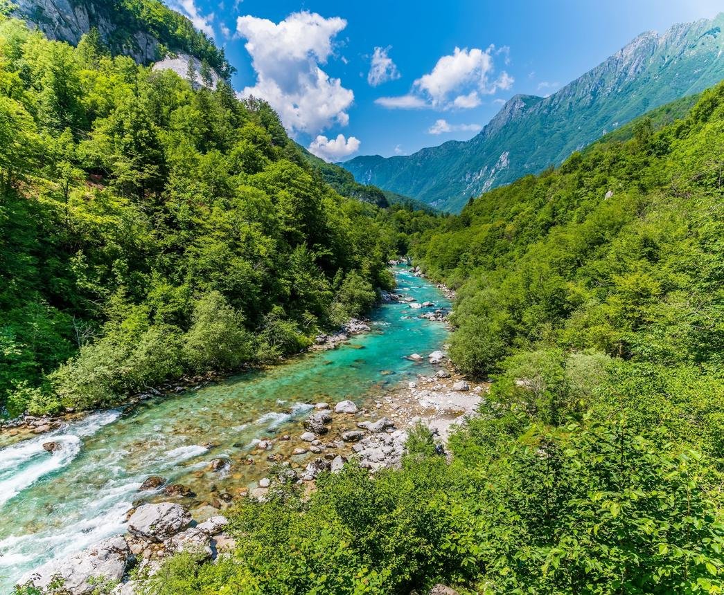
Physical geography examines natural features and processes, including mountains, rivers, deserts, glaciers, coastlines, weather and climate. It helps explain how landscapes form and how Earth's systems interact.
2. Continents and Countries
Continents are large landmasses traditionally grouped into seven regions in many educational systems. Countries have different boundaries, governments, cultures and physical environments. Their geography influences transport, resources and settlement patterns.
3. How Do Maps Work?
A map represents part of Earth's surface on a flat page or digital screen. Because Earth is curved, every flat world map projection introduces some distortion in area, shape, distance or direction.
- Political maps show borders and administrative divisions.
- Physical maps highlight landforms and water bodies.
- Topographic maps represent elevation and terrain.
- Thematic maps show patterns such as rainfall or population.
4. What Is GIS?
Geographic Information Systems (GIS) are tools for collecting, managing, analysing and displaying location-based data. GIS can combine maps with information about land cover, rainfall, transport, population and natural hazards.
5. Why Is Geography Important?
Geographic knowledge supports urban planning, disaster response, environmental conservation, agriculture, transport and resource management. Maps and spatial data help decision-makers understand where changes are happening and who may be affected.